Código de referência
IE CA CP/3/16/50/71
Título
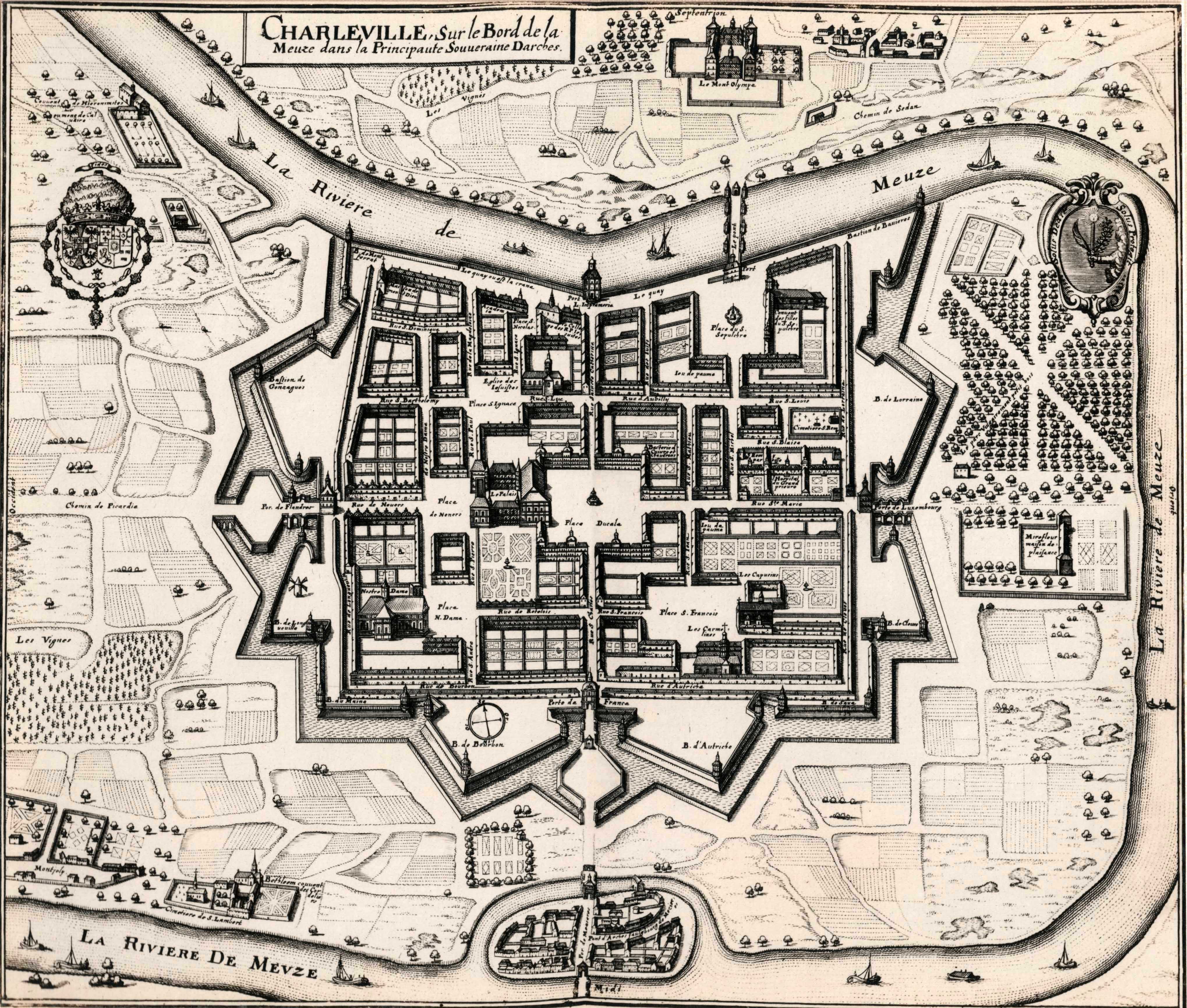
Map of Charleville (Charleville-Mézières), France
Data(s)
- c.1920 (Produção)
Nível de descrição
Parte
Dimensão e suporte
Copy print
Nome do produtor
(24 November 1900-26 July 1970)
Entidade detentora
História do arquivo
Fonte imediata de aquisição ou transferência
Âmbito e conteúdo
A print of a seventeenth-century map of Charleville (now Charleville-Mézières) in France. Charleville was the location where the exiled Irish Capuchins established their first residence in 1615. A manuscript annotation underneath the print in the volume reads ‘Charleville. The home of the Irish Capuchins from 1615 to 1686’. The map was originally published in Matthaeus Merian and Martin Zeiler, ‘Topographia Galliae’ (Frankfort [c.1655-61]).