Código de referência
IE CA AMI/2/10/3/94
Título
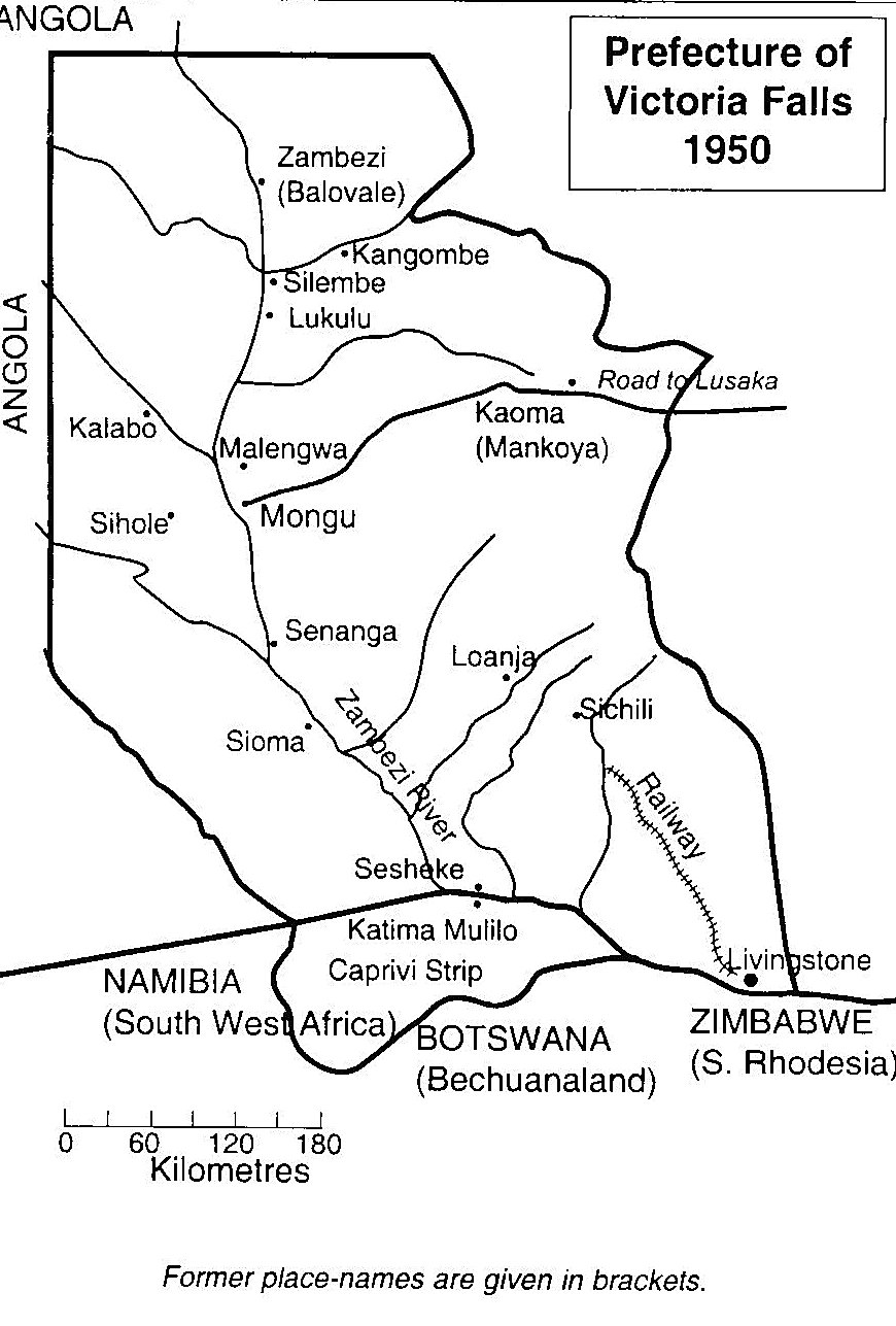
Map of the Prefecture of Victoria Falls
Data(s)
- 1950 (Produção)
Nível de descrição
Item
Dimensão e suporte
Black and white print; TIFF file
Nome do produtor
(1615-2023)
Entidade detentora
História do arquivo
Fonte imediata de aquisição ou transferência
Âmbito e conteúdo
A map of the Prefecture of Victoria Falls showing the locations of Irish Capuchin mission stations in 1950. The former place names are given in brackets such as Kaoma (formerly Mankoya).