Cote
IE CA AMI/2/10/3/94
Titre
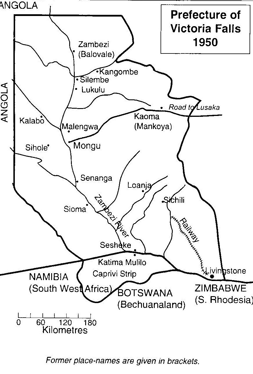
Map of the Prefecture of Victoria Falls
Date(s)
- 1950 (Création/Production)
Niveau de description
Pièce
Étendue matérielle et support
Black and white print; TIFF file
Nom du producteur
(1615-2023)
Histoire archivistique
Source immédiate d'acquisition ou de transfert
Portée et contenu
A map of the Prefecture of Victoria Falls showing the locations of Irish Capuchin mission stations in 1950. The former place names are given in brackets such as Kaoma (formerly Mankoya).