

Zone d'identification
Cote
IE CA WA/4/7/64
Titre
Roseburg, Oregon
Date(s)
- c.1939 (Création/Production)
Niveau de description
Pièce
Étendue matérielle et support
Postcard print
Zone du contexte
Nom du producteur
(15 September 1891-1 November 1973)
Histoire archivistique
Source immédiate d'acquisition ou de transfert
Zone du contenu et de la structure
Portée et contenu
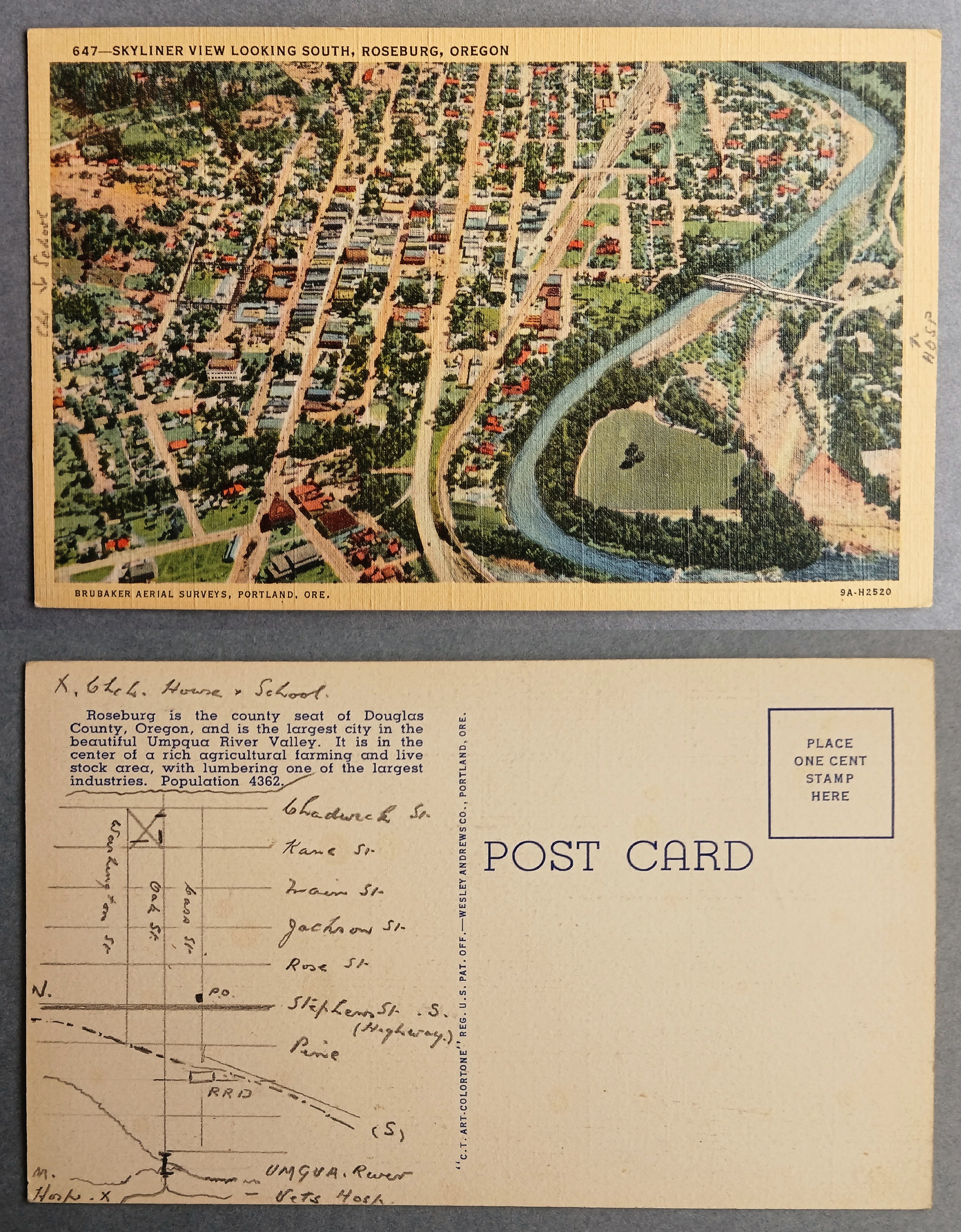
Postcard featuring an aerial ‘Skyliner’ view looking south over the city of Roseburg, Oregon, captured by Brubaker Aerial Surveys. The front side displays an illustration of the town’s street grid, residential neighbourhoods, and the Umpqua River spanned by a bridge. The back side includes a printed historical description noting Roseburg as the county seat of Douglas County with a population of 4,362, alongside a detailed hand-drawn map charting local streets like Jackson and Rose, the railroad tracks, and landmarks such as the post office and the hospital.