Identificatie
referentie code
IE CA WA/8/5
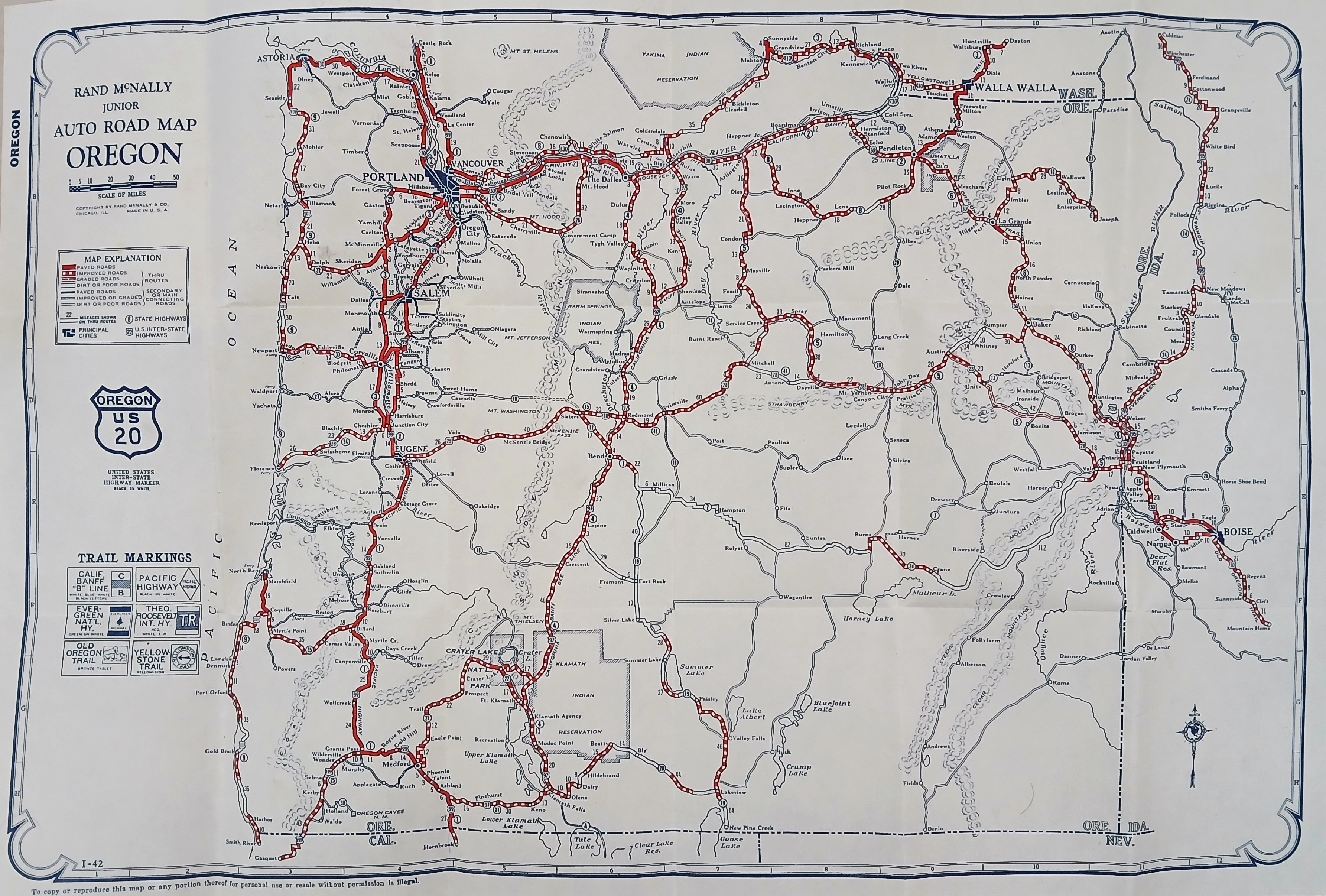
Titel
Road Map of Oregon
Datum(s)
- c.1940 (Vervaardig)
Beschrijvingsniveau
Stuk
Omvang en medium
64 cm x 48 cm; printed
Context
Naam van de archiefvormer
(1615-2023)
archiefbewaarplaats
Geschiedenis van het archief
Directe bron van verwerving of overbrenging
Inhoud en structuur
Bereik en inhoud
A ‘Rand McNally Junior Auto Road Map of Oregon’ illustrating the automobile transit network. Main highways are highlighted as a web of bold red routes connecting primary hubs like Portland, Salem, Eugene, and Medford, flanked by the Pacific Ocean coastline to the west and the Columbia River to the north. Key natural features, including Crater Lake and various mountain peaks, are mapped across the interior terrain.