Zone d'identification
Cote
IE CA WA/8/5
Titre
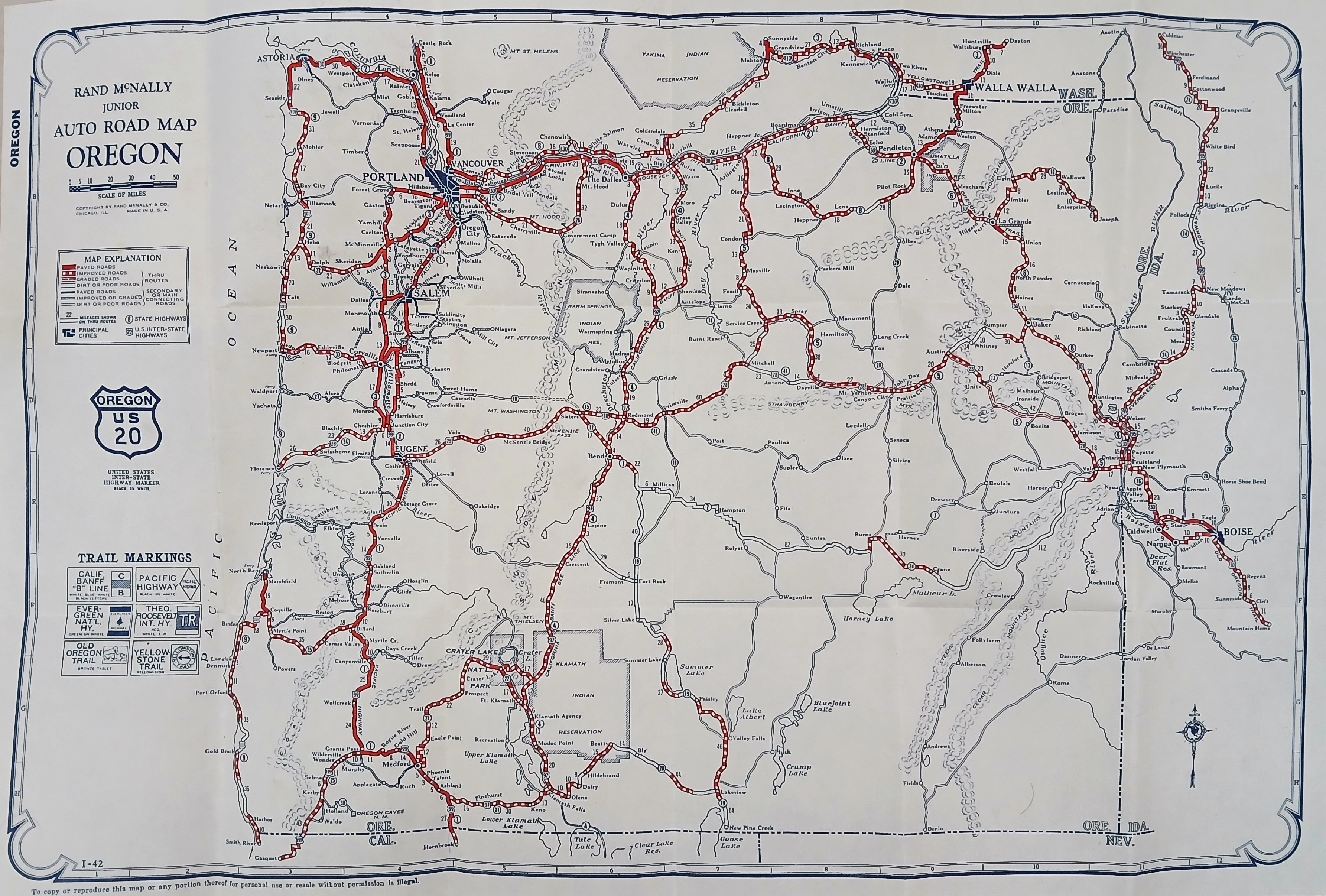
Road Map of Oregon
Date(s)
- c.1940 (Création/Production)
Niveau de description
Pièce
Étendue matérielle et support
64 cm x 48 cm; printed
Zone du contexte
Nom du producteur
(1615-2023)
Histoire archivistique
Source immédiate d'acquisition ou de transfert
Zone du contenu et de la structure
Portée et contenu
A ‘Rand McNally Junior Auto Road Map of Oregon’ illustrating the automobile transit network. Main highways are highlighted as a web of bold red routes connecting primary hubs like Portland, Salem, Eugene, and Medford, flanked by the Pacific Ocean coastline to the west and the Columbia River to the north. Key natural features, including Crater Lake and various mountain peaks, are mapped across the interior terrain.