Zone d'identification
Cote
IE CA WA/8/1
Titre
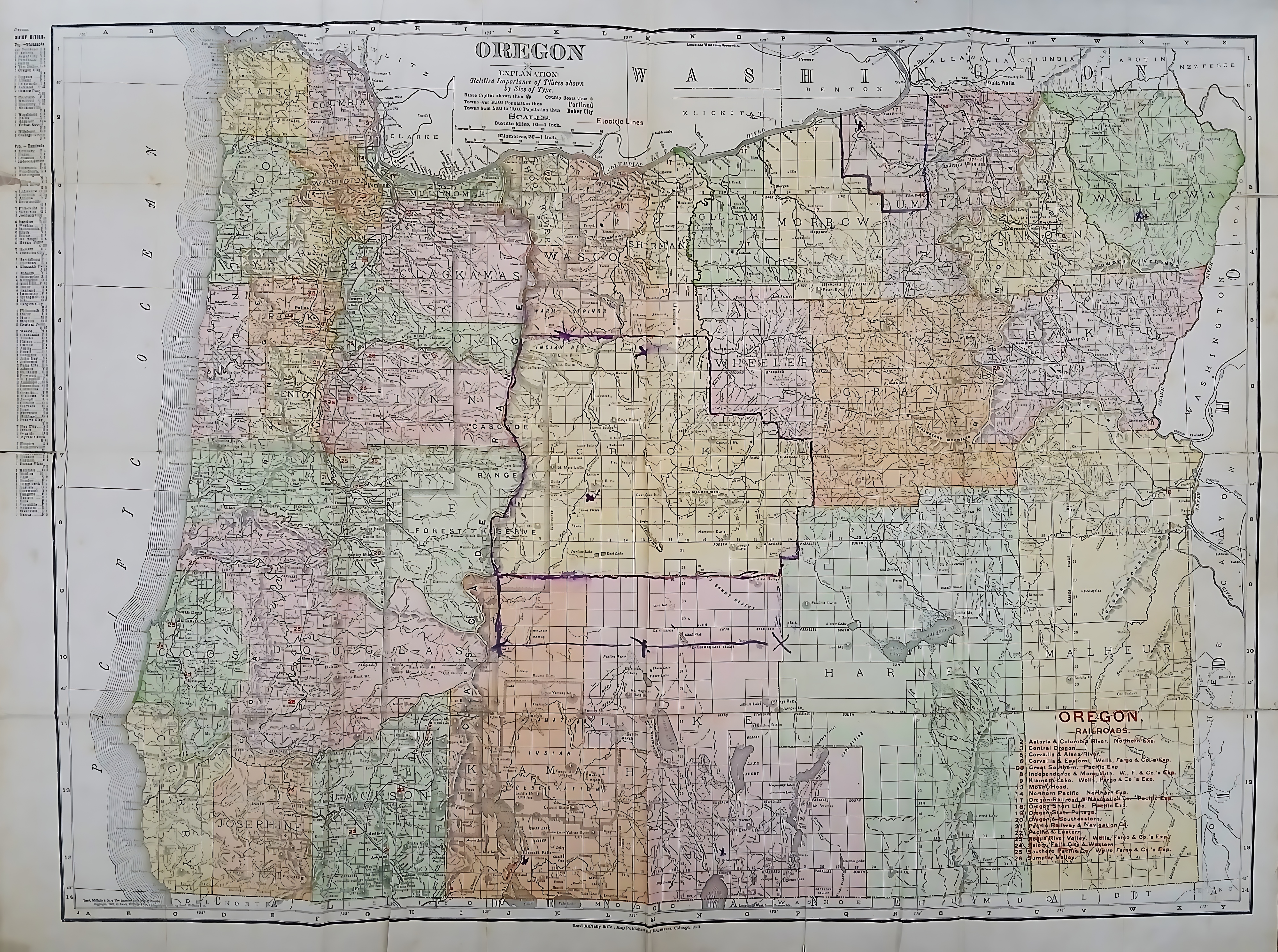
Map of the State of Oregon
Date(s)
- c.1910 (Création/Production)
Niveau de description
Pièce
Étendue matérielle et support
112 x 105 cm; printed
Zone du contexte
Nom du producteur
(1615-2023)
Histoire archivistique
Source immédiate d'acquisition ou de transfert
Zone du contenu et de la structure
Portée et contenu
A color-coded map of Oregon, partitioning it into early county configurations rendered in pastel shades. The northern border tracks the winding Columbia River alongside Washington, while the left edge meets the Pacific Ocean. A prominent, hand-drawn purple ink line with small ‘X’ marks carves an L-shaped territory through central counties like Crook and Harney. These marked territories likely align with areas assigned to the Irish Capuchin friars for their early missionary work.