IE IE/GLA IE/GLA/2022-01-17/248/2022-01-17/249/2023-06-05/600/2023-06-22/713
·
Item
·
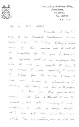
19-06-1966
Part of Glenstal Abbey Archive
Questionnaire and Brother David's vocation