Showing 44189 results

Archival description
9103 results with digital objects Show results with digital objects
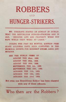
Robbers and Hunger-strikers
IE CA CP/3/16/4/33 · Part · 1923
Part of Irish Capuchin Archives

An anti-Treaty republican handbill. The text reads ‘Mr. [William T.] Cosgrave stated on Sunday in Dublin, that the Republican Hunger-strikers are in jail because life and property were not safe while they were at large. … During the past six months, sixteen Free State Soldiers have been convicted in the criminal courts for robbery under arms and murder. .. Not even one Republican soldier has been charged with any of these offences. Who then are the robbers?’.
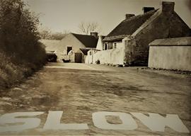
IE CA CP/1/1/3/11/1 · Part · c.1960
Part of Irish Capuchin Archives

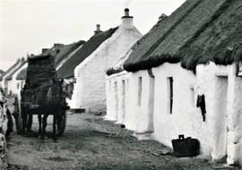
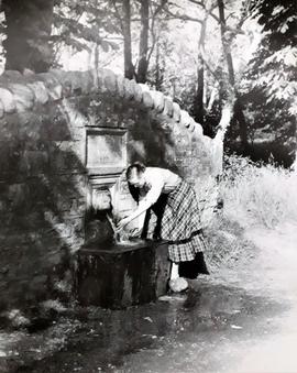
An image of a roadside spring in County Meath in about 1960. An annotation on the reverse of the print reads 'Built for passing traffic a century ago in Meath'.

IE CA CP/1/1/2/5/16 · Part · c.1945
Part of Irish Capuchin Archives

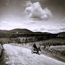
A view of a roadside farmstead in rural County Down in about 1945. A manuscript annotation on the reverse of the print reads 'A calm and peaceful picture of a roadside farmstead in County Down'.

IE PVBM TNC/2/74/2/2/1/7 · File · 1972
Part of Presentation Sisters Congregational Archives

Correspondence between Shaun McD. Murphy, architect Frank Murphy & Partners and South Presentation Convent regarding Cork City Council's plans to widen road, the use of a dump, the purchasing of leases, and Sacred Heart Secondary School's water account.

IE CA CP/1/1/2/2/19 · Part · c.1945
Part of Irish Capuchin Archives

A view of the road to Mount Melleray (Cistercian) Abbey in County Waterford. An annotation on the reverse of the print reads 'On the road to Mount Melleray / County Waterford'. The image is credited to Frank O'Brien, Fermoy, County Cork.

IE CA CP/1/1/1/3/52 · Part · c.1940
Part of Irish Capuchin Archives

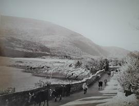
A view of cattle on a rural road in County Kerry. An annotation on the reverse of the print reads 'Kerry / On the Road to Kenmare / near Eagle's Nest'. The Eagle's Nest is a mountain located in Killarney National Park.

Road Map of Oregon
IE CA WA/8/5 · Item · c.1940
Part of Irish Capuchin Archives

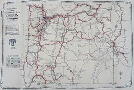
A ‘Rand McNally Junior Auto Road Map of Oregon’ illustrating the automobile transit network. Main highways are highlighted as a web of bold red routes connecting primary hubs like Portland, Salem, Eugene, and Medford, flanked by the Pacific Ocean coastline to the west and the Columbia River to the north. Key natural features, including Crater Lake and various mountain peaks, are mapped across the interior terrain.