A letter from Rory O’Connor to Fr. Albert Bibby OFM Cap. recalling the republican occupation of the Four Courts and the assistance rendered by the friar during that time. Reference is also made to ‘co-ordinated military action against N.E. Ulster’. O’Connor concludes ‘We have never acknowledged the heroic services which you rendered us during the days you were with us in the Four Courts, during the attack, it seems unnecessar[y] as your devotion to Ireland’s liberty is no less than ours’. (Volume page 112).
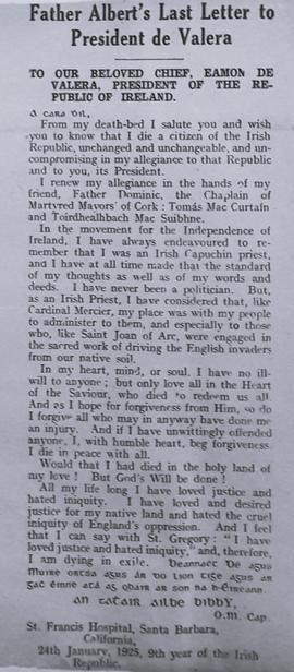
A clipping of an article reprinting a copy of Fr. Albert Bibby’s final letter to Éamon de Valera pledging his ‘unchanged and unchangeable, and uncompromising’ allegiance to the Republic and to you, its President’. He argues that ‘in the movement for the independence of Ireland I have always endeavoured to remember that I was a Capuchin Priest’. The volume also includes a covering letter from Fr. Dominic O’Connor OFM Cap. to de Valera enclosing Bibby’ letter and referring to the latter’s ailing health. O’Connor concludes by stating that it is ‘better to die in agony than for freedom than live in luxurious freedom’. (Volume page 116).
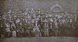
A clipping of members of the Women’s National Health Association (WNHA) in Dublin in 1915. The image was published in the ‘Irish Life’ magazine (19 February 1915) on the occasion of the departure of the WNHA’s founder Ishbel Hamilton-Gordon (Lady Aberdeen) from Ireland. She is the central figure in the front row. (Volume page 155)
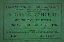
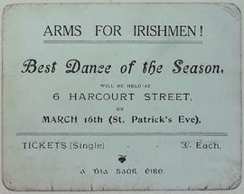
A ticket for an Irish Volunteers concert held in the Antient Concert Rooms on Great Brunswick Street (now Pearse Street) in Dublin on 9 April 1916. The concert included an address by Eoin MacNeill (1867-1945), a Gaelic scholar and Irish nationalist who had established the Irish Volunteers in 1913. (Volume page 187).
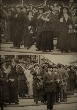
A clipping of two photographs showing the crowds in attendance at Leopardstown Racecourse in Dublin in May 1915. The images were published in the ‘Irish Life’ magazine (7 May 1915). The original captions read (upper) ‘In the front, Marchioness Conyngham consulting her programme, on her right Mrs Faudel Philips, and on her left Miss Beatrice Murphy and (lower) ‘In the members’ enclosure watching the start’. The ‘Marchioness Conyngham’ referred to in the caption is Frances Elizabeth Conyngham (1862-1939), the widow of Henry Francis Conyngham, 4th Marquess Conyngham (1857-1897), of Slane Castle in County Meath. Marchioness Conyngham’s eldest son, Victor George Conyngham (5th Marquess), was a lieutenant in the South Irish Horse, a cavalry battalion of the Royal Irish Regiment which was deployed to the Western Front during the Great War. He survived the fighting but was stricken with pneumonia in the trenches, and died on 9 November 1918, at the age of 35, just two days before the Armistice. He was chronologically the last of the forty-two British parliamentarians who died during the war (he sat in the House of Lords as an Irish Peer). (Volume page 197).
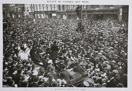
A clipping of an image of a large crowd assembled on the Grand Parade in Cork city for a recruitment rally during the Great War. The image was published in the ‘Irish Life’ magazine (8 October 1915). The frontage of Alexander Grant and Co., a landmark department and clothing store, can be seen in the background of the photograph. This four-storey building at 16-18 Grand Parade (constructed in the 1860s) was destroyed by fire in March 1942. The site was later repurposed as the Capitol Cinema which opened its doors in 1947. (Volume page 201).
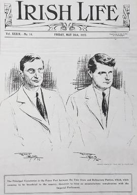
The front cover of the ‘Irish Life’ magazine (Vol. XXXIX, No. 14, 26 May 1922). The cover has drawings of Éamon de Valera and Michael Collins. The artist is credited as Frank Leah (1886-1972). (Volume page 203).
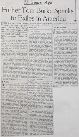
A clipping of an article reflecting on the American tour of Fr. Tom Burker OP, a noted Irish Dominican preacher and historian. Burke visited the United States in 1871. (Volume page 213).
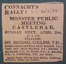
A clipping referring to a public demonstration in Castlebar, County Mayo, on 2 April 1922. The event included speeches by Michael Collins, Seán McKeon (Seán Mac Eoin), and Alexander McCabe (Alasdair Mac Caba). The article is taken from the 'Irish Independent' (30 March 1922).