Scale: 9 miles to 1 inch Map of Barotse Province in Northern Rhodesia drawn by A.R. Stevens in 1930. The map shows the area from Balovale to Livingstone. The original key to the map shows the locations of mission stations established by the South African General Mission, the Seventh-Day Adventist Mission, the Plymouth Brethren Mission, and the Paris Evangelical Mission Society. Later endorsements on the map (in pencil) show major roads and railways and the locations of missions and schools founded by the Irish Capuchin friars.
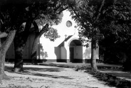
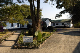
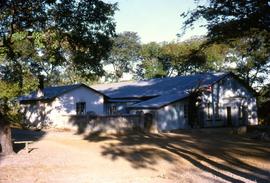
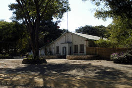
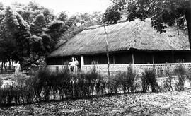
The exterior of Mangango Friary. The original caption reads ‘1948 moved from Mukunkiki to Mangango: Br. Gabriel McGillicuddy OFM Cap. the builder. The first friary was a pole and dagga construction’.